

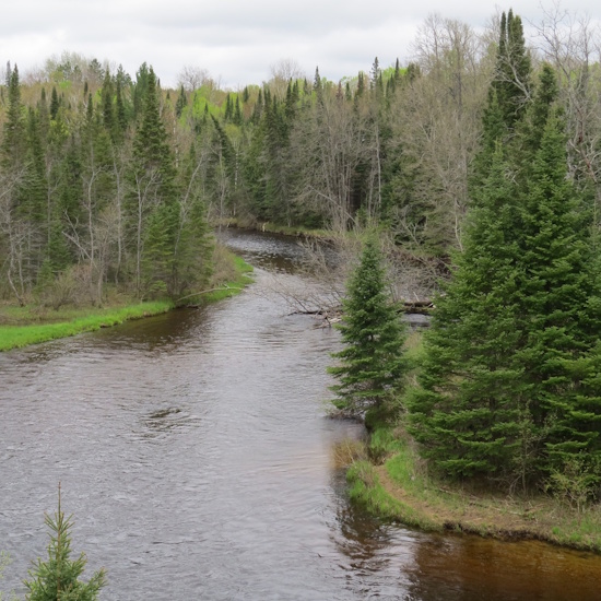
Inland Waterway
The Inland Waterway is Michigan's longest chain of rivers and lakes, allowing boaters to navigate from the mouth of the Cheboygan River 40 plus miles to Crooked Lake. The route is comprised of: Crooked Lake, Crooked River, Burt Lake, Indian River, Mullet Lake, and the Cheboygan River. The route includes two locks and can handle vessels up to 65 feet long with a draft up to 5 feet. The waterway is part of an enormous watershed including some 50,000 acres of lake surface. The area is known for its beautiful scenery that beacons boaters, paddlers, and campers. Needless to say, fishermen love the Inland Waterway.
Inland Waterway Attractions
From Indian River east there is a lot to see and do both on and
off the waterway. While passing through Indian River plan to visit
the Cross in the Woods Shrine to see the largest crucifix in the
world. There are four State Campgrounds along the waterway and
several private ones like those near Topinabee and Aloha on Mullett
Lake. When leaving Mullett Lake heading north the route picks up the
Cheboygan River. At the Lake Huron end, it’s just 15 miles to
Mackinac Island, 18 miles to the Mackinaw Bridge, 21 miles to the
Les Cheneaux Islands, 60 miles to the North Channel, and 80 miles to
the Soo Locks.
Lighthouses
For those with a lighthouse list there are several lighthouses or
lighthouse ruins.
The Cheboygan Crib Light has been restored and is at the Doyle
Recreation area at the mouth of the Cheboygan River.
The River Front Range Light is on the west side of the Cheboygan
River just north of the drawbridge. It is being restored to its
1920's appearance.
The Cheboygan Light ruins are in Cheboygan State Park.
The Poe Reef Light still has its black and white banded paint job.
It is 2 miles offshore and can be viewed from the mouth of the
river.
The Fourteen Foot Shoal Light with its distinctive red cast iron cap
is nearly 2 miles offshore.
An alternative route, upon entering the Cheboygan River, is to head south. The Cheboygan River becomes the Black River and eventually reaches
Black Lake where the Sturgeon Nursery is located. Nature lovers can
take a short drive to the Ocqueoc Waterfall near Onaway and hike the
trail to the sinkholes. If you prefer to spend all day in a forested
setting, the Black Mountain Recreation Area is just a few miles
away.The network of trails is enormous with over 30 miles available
for hiking, 60 miles for off road vehicles, and 80 groomed miles for
snowmobiling. There are plenty of opportunities for other outdoor
pursuits like camping, hunting, and fishing inside the recreation
area, as well.
A Bit of History
By leaving Lake Huron at the Cheboygan River, and following the
inland waterway to Crooked Lake, Indians and fur traders had only a
short portage to Little Traverse Bay thereby avoiding the
treacherous Straits of Mackinac. The west to east route used by
Indians and fur traders, also included Round Lake (near Lake
Michigan), and a small stream from Round Lake to Crooked Lake,
called Iduna Creek. This extension of naturally protected inland
waters eliminated the dangerous journey around Waugoshance Point on
Lake Michigan. It was possible to get from Petoskey to Cheboygan,
without navigating the Northern Great Lakes. As many as 50
encampments used by various tribes have been documented along the
course Inland Waterway.